Tropical Storm Bertha Makes Louisiana Landfall With Heavy Rain
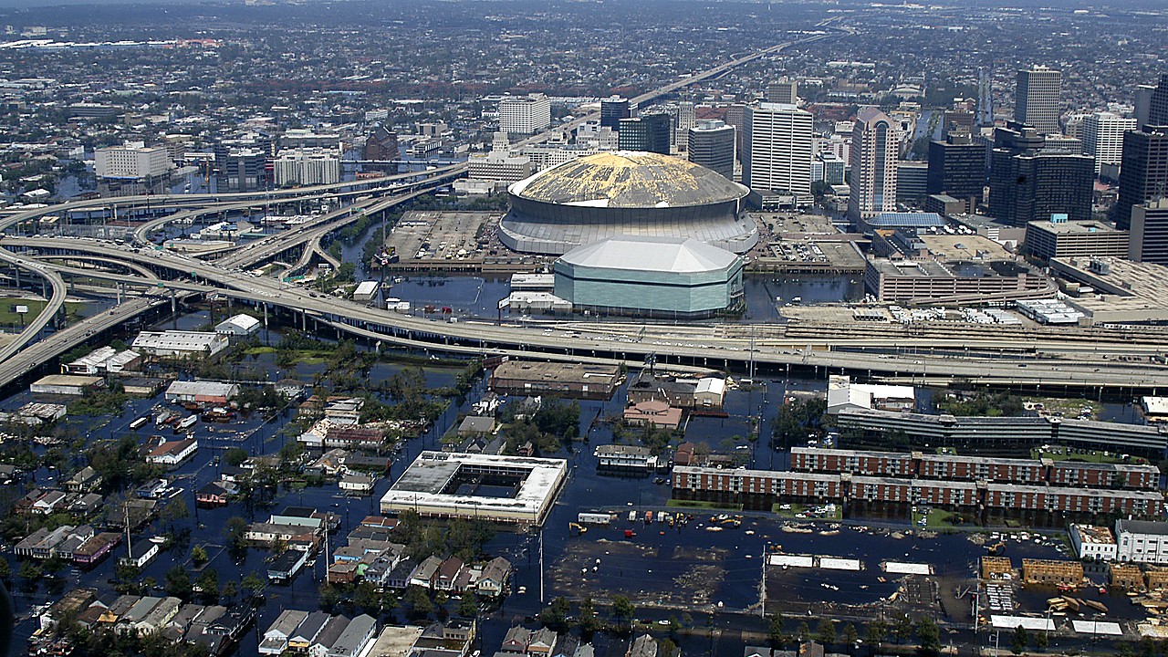
Tropical Storm Bertha made landfall in Louisiana, pushing heavy rain ashore and raising the threat of flash flooding along the northwestern Gulf Coast.
The storm’s center approached the Louisiana coastline Wednesday afternoon before moving inland, according to published storm updates and regional coverage tracking the system. Bertha’s rain bands spread across coastal communities and into nearby inland areas, with periods of gusty winds also reported in forecasts tied to the storm.
The primary concern with Bertha is rainfall. Forecasters warned that downpours could quickly overwhelm drainage in low-lying and flood-prone locations, creating dangerous conditions on roads and in neighborhoods that routinely take on water during tropical events. The flash flood threat extends beyond the immediate landfall area as rain spreads westward along the Gulf Coast.
Impacts are not expected to be confined to Louisiana. Coverage of the storm noted a wind and flood threat stretching from Louisiana into Texas as Bertha continues moving along the coast. Communities across the western Gulf Coast were advised to be prepared for changing conditions, including bursts of heavy rain and localized flooding.
This development matters because even a tropical storm can cause major disruption when it moves slowly or delivers repeated rounds of rain over the same areas. Flash flooding can develop with little notice, particularly in urban corridors where water has limited places to go. In addition to the direct safety risks, heavy rain can trigger road closures, delay travel, and interrupt normal operations for businesses and public services across coastal counties and parishes.
The storm also has the potential to affect planned activities in the region. Separate live updates indicated Bertha may have effects near the Texas coast, including around a SpaceX launch timeline, underscoring how even moderate tropical systems can ripple into scheduling and operations far beyond the shoreline.
In the near term, attention will remain on where the heaviest rain sets up and how quickly water levels rise in areas that are already susceptible to flooding. As Bertha moves inland and westward along the Gulf Coast, the focus shifts from the exact landfall point to the broader swath of rainfall and the locations most likely to see short-term, high-impact flooding.
What happens next is continued monitoring of Bertha’s track and rainfall as it progresses across the Gulf Coast region. Updates are expected to continue as the storm’s center moves farther from the Louisiana coast and the most intense rain bands evolve, with local officials and weather outlets tracking any flooding reports and changing conditions.
For Louisiana and the northwestern Gulf Coast, Bertha’s landfall marks the start of a period where the biggest danger may come not from wind, but from water.