
AI Fleet Maps Potholes, Cutting Repair Costs For Major Cities
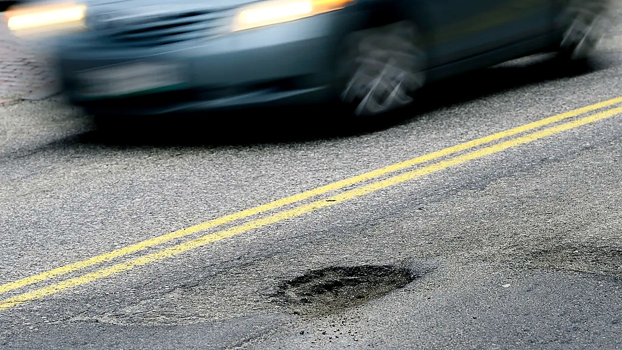
Potholes are a costly, persistent problem for U.S. cities, driving repair bills, vehicle damage claims, and growing frustration for residents. A company is now pitching a new approach: pairing artificial intelligence with fleets of trucks to spot roadway damage and help speed repairs.
The company’s system uses trucks operating on city streets to collect data on road conditions. That data is analyzed with AI to identify potholes and related pavement issues, creating a clearer picture of where problems are emerging and how quickly they are worsening.
The pitch to city transportation departments is straightforward: instead of relying primarily on citizen reports, periodic manual inspections, or limited survey routes, cities could use a more continuous stream of information gathered during routine driving. The company says this can help prioritize repairs, plan crews more efficiently, and address hazards sooner.
The stakes are significant. Potholes don’t just create bumpy rides; they can damage tires, wheels, and suspension systems, and they can pose safety risks for drivers, cyclists, and pedestrians. For city governments, the costs add up through emergency patching, deferred maintenance that becomes more expensive over time, and administrative burdens tied to complaints and damage claims.
Better information can also shape spending decisions. Transportation agencies often face tradeoffs between patching potholes, resurfacing segments of roadway, and investing in longer-term rehabilitation. More detailed, frequently updated data can help officials determine which fixes are truly urgent, which streets are deteriorating fastest, and where limited budgets will have the biggest impact.
The company’s approach fits into a broader push to apply automation and analytics to public infrastructure. Cities have been experimenting with sensors, mapping tools, and data platforms to track everything from traffic signals to streetlights. Roadway maintenance, however, remains a high-visibility service where residents feel the impact immediately and judge city performance quickly.
If the company’s system is adopted, the next step would typically involve coordination with local public works or transportation departments. That can include setting standards for what counts as a reportable pothole, deciding how data integrates with existing work-order systems, and establishing response targets for crews. Municipal procurement processes, privacy considerations, and data ownership terms can also shape how quickly any rollout moves.
For cities, the question is whether the AI-driven model improves outcomes enough to justify the cost and operational change. For the company, success depends on proving it can deliver reliable, street-level intelligence that translates into measurable improvements in repair times, smoother roads, and fewer recurring potholes.
As communities head into another season of heavy wear on aging pavement, the battle over potholes is increasingly becoming a test of whether smarter tools can help cities fix a basic problem faster—and keep it from coming back.